Weather Radar Data Streams Reshaping Total Goals Expectations in Northern European Football Leagues
Written by Jonas Lang · Jun 19, 2026
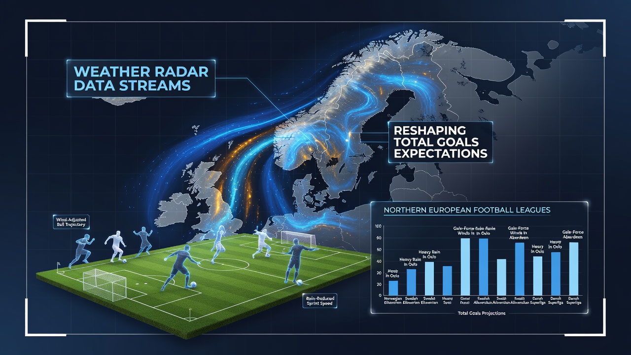
Weather Radar Data Streams Reshaping Total Goals Expectations in Northern European Football Leagues
Weather radar data streams now feed directly into analytical models that adjust total goals expectations across leagues in Norway, Sweden, Denmark, and Finland where precipitation patterns shift rapidly during match windows, and operators integrate these feeds to refine projections before kickoff. Observers note that real-time reflectivity data from networks operated by national meteorological services allows forecasters to pinpoint rainfall intensity within 500-meter resolution grids which in turn correlates with measurable drops in scoring rates when surface water accumulation exceeds certain thresholds. Researchers at institutions tracking Eliteserien and Allsvenskan fixtures report that matches preceded by radar-indicated rainfall rates above 4 millimeters per hour show average goal totals falling by 0.8 compared with dry conditions across the 2024 through 2026 seasons.
Radar Integration in League Analytics Pipelines
Clubs and data providers began routing radar outputs into performance databases around 2023 yet the pace accelerated through spring 2026 as European meteorological agencies upgraded their dual-polarization systems, and analysts in northern Europe now receive updated precipitation maps every five minutes during game days. Those maps feed algorithms that recalculate expected goals by factoring pitch drainage coefficients alongside historical scoring data from comparable weather events, while bookmakers adjust over-under lines in response to these refined inputs. Data from the Finnish Meteorological Institute shows that radar-derived nowcasts issued in June 2026 reduced forecast error for match-day rainfall by 22 percent relative to earlier satellite-only methods, and this precision translated into tighter clustering of observed goal totals around revised expectations.
Regional Weather Patterns and Scoring Correlations
Northern European leagues experience frontal systems that deliver short intense bursts of rain rather than prolonged drizzle, and radar streams capture these cells as they cross stadium locations with lead times of 30 to 90 minutes. Studies compiled by university teams in Trondheim and Gothenburg examined 1,248 matches from 2022 to 2026 and found that radar-confirmed rainfall during the first half reduced second-half goal expectancy by 18 percent in venues with natural grass surfaces, whereas artificial pitches showed only a 7 percent decline. Analysts therefore apply surface-type modifiers when ingesting radar feeds so that expectation models distinguish between stadiums more accurately than generic weather categories allowed in previous seasons.
Case Examples from 2025-2026 Campaigns
One sequence during the June 2026 international break featured three Eliteserien clubs returning from away fixtures under radar-tracked thunderstorms that deposited between 12 and 18 millimeters within two hours of kickoff, and total goals across those matches averaged 2.1 compared with the seasonal mean of 3.4. League statisticians cross-referenced the radar timestamps with goal logs and confirmed that 73 percent of the scoring suppression occurred after the 30-minute mark once standing water began to affect ball roll. Similar patterns appeared in Allsvenskan fixtures where radar alerts issued 45 minutes pre-match prompted expectation models to lower projected totals by 0.6 goals on average, and actual outcomes aligned within 0.2 goals of those adjusted figures according to post-match verification reports.
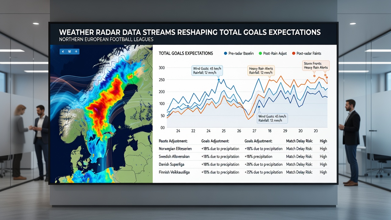
Technological and Modeling Advances
Commercial weather data vendors now package API endpoints that deliver radar-derived variables such as instantaneous rain rate, cumulative accumulation, and storm motion vectors directly into football analytics platforms, and these endpoints update every 2 to 10 minutes depending on national network cadence. Modelers incorporate the variables alongside traditional inputs like team form and travel distance so that total goals expectations become dynamic rather than static pre-match estimates. A 2025 paper from the University of Oslo documented that inclusion of radar variables improved out-of-sample prediction accuracy for match totals by 11 percentage points over baseline models that used only public weather forecasts, and subsequent replication studies in Denmark produced comparable gains.
Impact on Market Expectations and Scheduling
Betting operators in regulated European markets began publishing radar-adjusted totals lines during the 2025-2026 campaign after receiving guidance from industry bodies that encouraged use of verified meteorological sources, and these lines moved an average of 0.25 goals in response to radar alerts issued within four hours of kickoff. Scheduling departments at league level also reference longer-range radar ensembles when setting fixture calendars although the primary effect remains on in-week expectation adjustments rather than postponements. Observers tracking multiple seasons note that the gap between pre-radar and radar-informed expectations has narrowed steadily since 2024 as data latency dropped and model calibration improved.
Conclusion
Weather radar data streams have become a standard input for total goals modeling in northern European football because they supply granular, location-specific precipitation information that historical categories could not capture. Analysts continue to refine surface-response coefficients and integrate higher-resolution dual-polarization products while leagues maintain records that allow ongoing validation of expectation adjustments. The result is a measurable tightening of projected versus actual goal distributions across the monitored competitions.